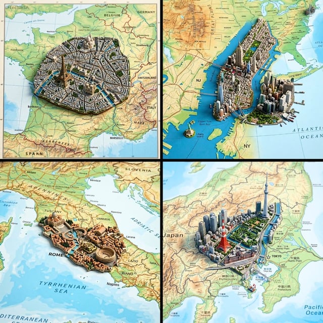
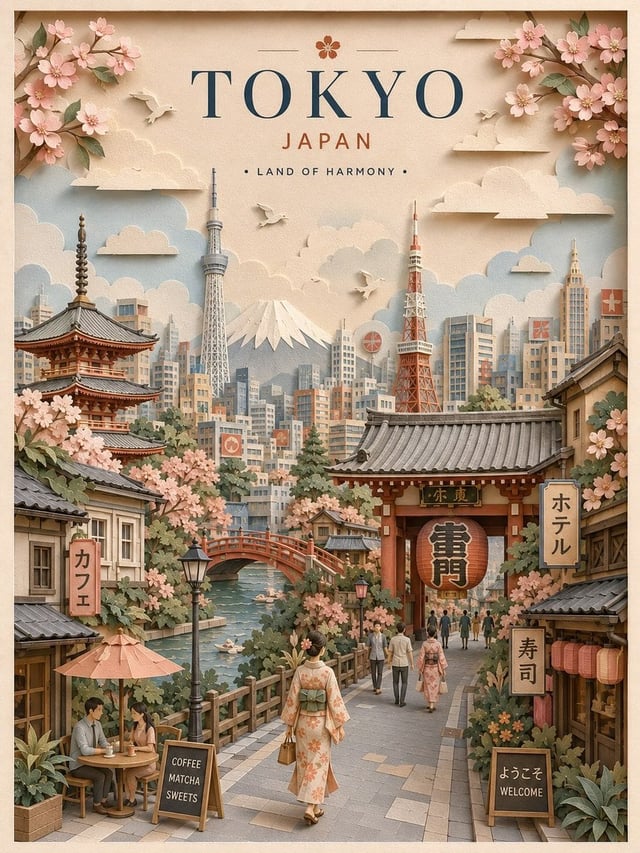
![Create a charming miniature 3D paper-craft travel illustration of [Destination], designed as a delic](https://images.meigen.ai/cdn-cgi/image/format=auto,quality=85,width=640,fit=scale-down/tweets/2091077027415851221/0.jpg)
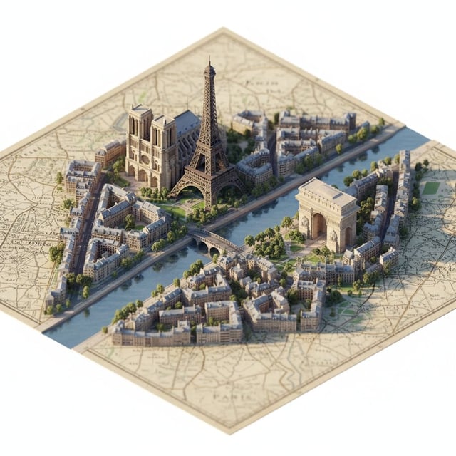
![A street-style map of [CITY_NAME] placed on a {MAP_SURFACE}, with a photorealistic miniature version](https://images.meigen.ai/cdn-cgi/image/format=auto,quality=85,width=640,fit=scale-down/tweets/2019618076246090053/0.jpg)
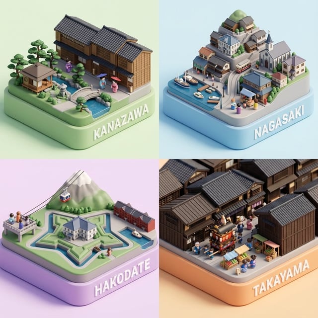
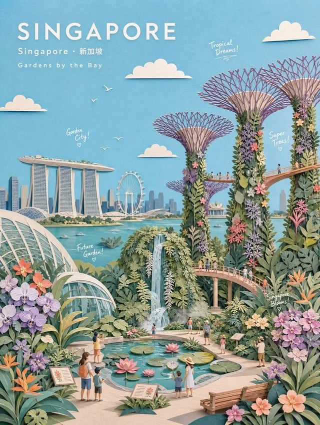
![Present a clear, side-facing isometric miniature 3D cartoon diorama of [CITY] along the [WATERFRONT]](https://images.meigen.ai/cdn-cgi/image/format=auto,quality=85,width=640,fit=scale-down/tweets/2033888375619637274/0.jpg)
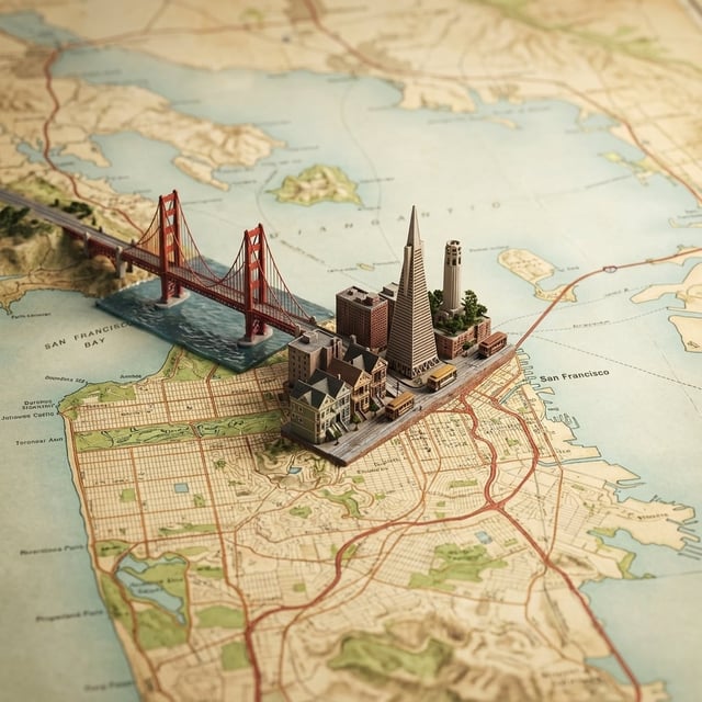
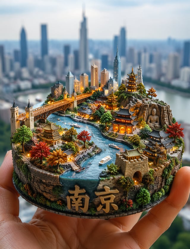
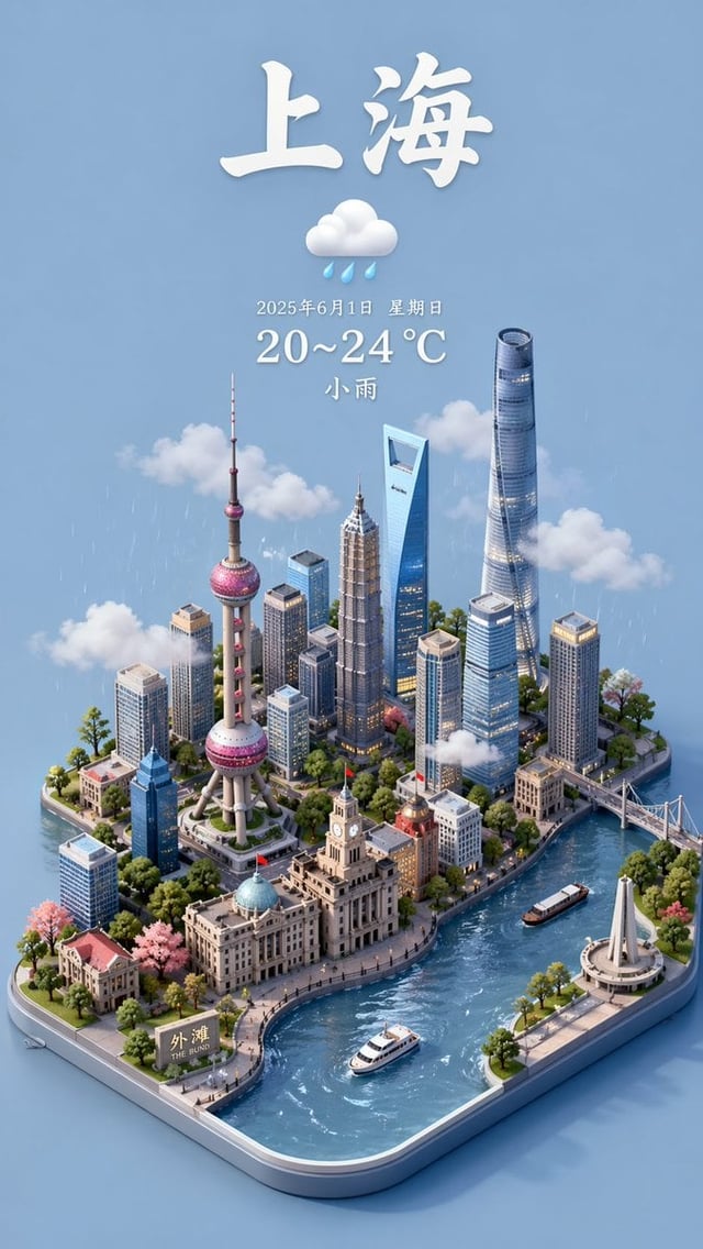
![A hyper-realistic 3D pop-up diorama of [Location] emerging seamlessly from a vintage folded topograp](https://images.meigen.ai/cdn-cgi/image/format=auto,quality=85,width=640,fit=scale-down/tweets/2065681735258443804/0.jpg)
Back to Galleryother

491.3KJul 1, 2026
Prompt
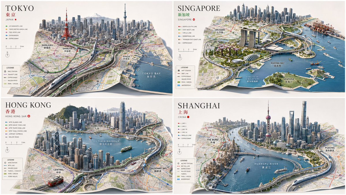
input ::= [City Or Place] + [Map Geometry] + [Urban System] + [Architectural Style] [concept] render [City Or Place] as a giant folded map that has become real architecture. [visual logic] the city starts as a flat, map-like urban plan. at the center, the map folds upward into vertical streets, rising skyline, bridges, tunnels, rail lines, and stacked districts. roads remain readable as map lines, but they become physical streets with cars and shadows. waterfronts, parks, and landmarks are inferred from [City Or Place]. [composition] foreground: flat city grid, labels, scale marks, map texture. middle: streets begin bending upward, highways curl, buildings rise from printed blocks. background: fully dimensional skyline standing on the folded map surface. [style] [Architectural Style] examples: premium urban design visualization, museum-scale city model, editorial cartographic architecture, cinematic masterplan render. [negative] --no flat map only --no wrong landmarks --no fantasy terrain --no excavation or core sample --no random folded paper without urban function